UK-built satellite to deliver first 3D map of Earth’s forests
Total Telecom
APRIL 25, 2025
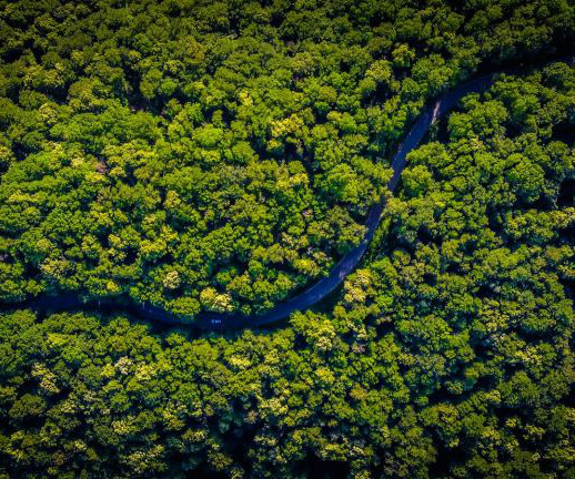
News The move ispart of a major European Space Agency (ESA) mission launching later this month A satellite developed and built in the UK is set to become the first in the world to measure the structure and condition of Earths forests in 3D from space. Known as Biomass, the satellite will use radar technology to map tropical forests over a five-year period, helping scientists understand how carbon is stored and released by forest ecosystems.


Let's personalize your content